


GETTING AROUND
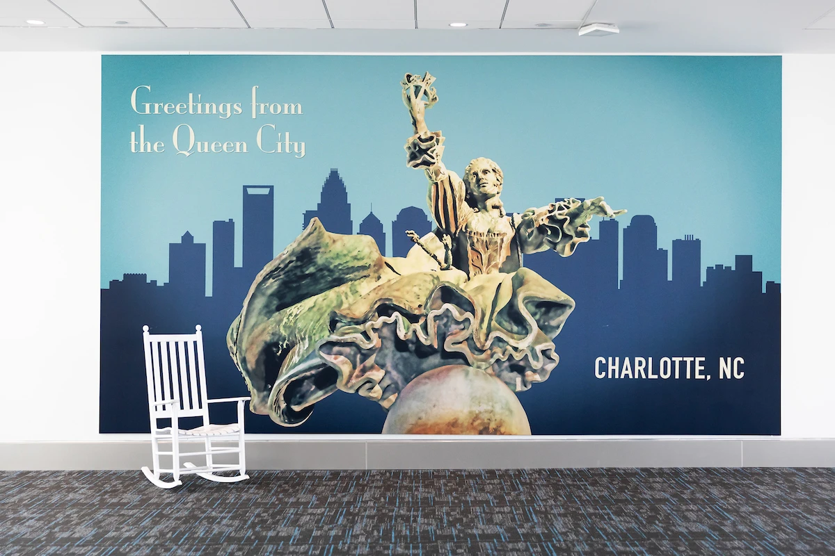


A ROYAL WELCOME
See All


Pick a Trail & Start Exploring
By Light Rail

The LYNX Blue Line light rail has been a game-changer for Charlotteans since its operations began in 2007 with 15 stations linking the south side of Intersate 485 to Uptown. In 2018, the Charlotte Area Transit System (CATS) added an extension, connecting Uptown to UNC Charlotte and bringing the total south-north route to 18.9 miles with 26 stations, including 11 park-and-ride locations
Save at Local Breweries with the Charlotte Brewery Pass
By Bus

CATS is a public transportation provider in Charlotte which operates Bus routes. The CATS has 65 Bus routes in Charlotte with 2,957 Bus stops. Here's where to find the latest schedules and maps.
Sign up for our monthly email for the latest happenings in Charlotte
By Bike

Hundreds of bike-sharing options are scattered throughout the city. Charlotte Joy Rides has more than 20 bike docks, where you can swipe your credit card to rent a bike in 30-minute increments. And dockless bike-sharing companies like LimeBike, Mobike and Spin offer riders the option to pick up and leave their colorful two-wheelers in whatever legal spot they like. (The wheels lock when no one is using them.) Download the companies’ smartphone apps to rent the bikes. charlotte.bcycle.com; limebike.com; mobike.com; blog.spin.pm
Save on Top Attractions & Museums with the Attractions Pass
By Scooter

For those quick trips, keep an eye out for dockless, electric scooters that are scattered around the city. Bird, Lime and Spin scooters can all be accessed by an app on your smartphone and make it super easy to scoot through neighborhoods. Don't forget your helmet.